Locatech Services
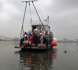
Geophysical & Hydrographical Survey Services
Locatech Services SARL provide hydrographic and geophysical data to support the successful construction and development of bridge foundations, subsea tunnels, highways, coastal facilities, land reclamation and dredging assessments, navigational channels and port developments.
We provide developers, contractors, and port authorities with detailed surveys of ports to assess the condition of navigation channels and adjacent structures.
We perform precise site investigation and quality data collection, accompanied with sound analysis and advice to ensure the safe construction and maintenance of your infrastructures. We provide support throughout the lifespan of your project.
We gather and present data for harbourmasters to ensure safe navigation; dredging companies to carry out targeted excavation; and engineers to safely design future developments
Geotechnical Survey
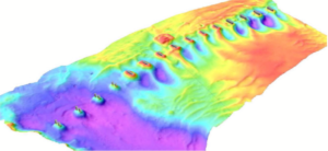
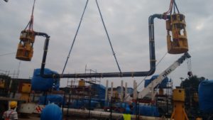
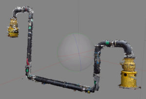
3D Subsea Survey
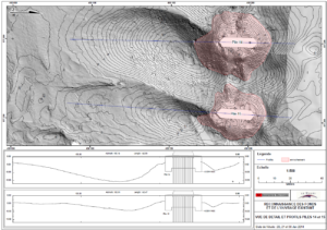
Multibeam Bathymetric profile