Seabed classification
Pipeline survey
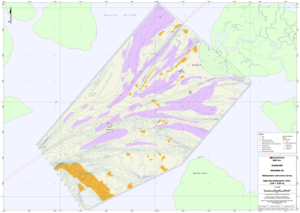
SHALLOW GEOLOGY
Pipeline survey with MS 1000
MULTIBEAM ECHOSOUNDER
RESON T20-P
GEOSWATH
R2SONIC 2024
SECTOR SCAN SONAR
MS 1000
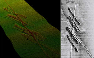
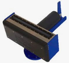
SIDE SCAN SONAR
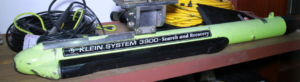
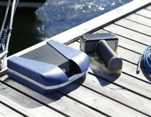
KLEIN
3900
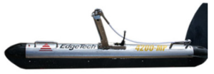
EDGETECH 4200
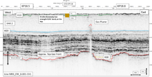
SUB-BOTTOM PROFILER
GEOACOUSTICS GEOPULSE
INNOMAR SES 2000
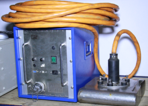
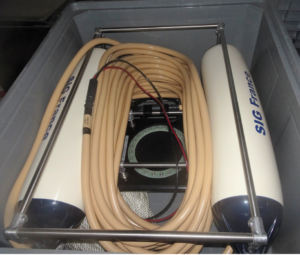
SIG SPARKER
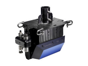
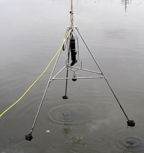
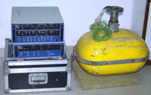
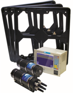
MAGNETOMETER
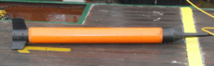
SEASPY
PIPE TRACKER


