Locatech Services Sarl owns and operates a number of online and offline QC, processing and reporting suites. This facilitates data viewing, processing, and interpretation while enabling a comprehensive presentation of deliverables (final charts, report, DTM, …). Our comprehensive range of seabed charting services provide a clear overview of the site to help clients make critical decisions necessary to stay on schedule, enhance their project safety, and design the most cost-effective marine operations.
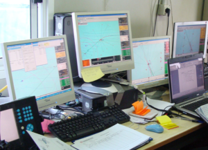
Locatech Services Sarl utilizes a variety of tools that are considered industry standard for the viewing and manipulation of large data sets.
Following are examples of some of the online and offline data acquisition and processing tools used:
- 2D High Res Seismic: Kingdom office suite
- Sub-bottom Profiler Data: Kingdom office suite, Delph seismic and SonarWiz
- Multibeam Acquisition /Navigation: Hypack and Eiva Naviscan
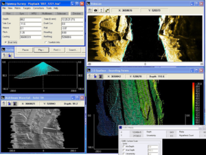
- Multibeam Processing: Caris Hips/Sips and Hysweep
- General Mapping: ArcView, AutoCAD Map
- Plotters/Recorders: HP colour plotters and printers
- Side Scan Sonar Data: Delph Sonar, Hypack Max and SonarWiz
Locatech Services Sarl survey reports have been developed through the completion of numerous projects and have been refined through an iterative process of client feedback and improvement of techniques and technology. This allows us to meet our clients needs based on the project requirements.
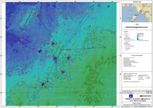
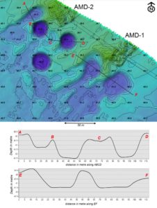
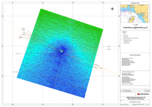
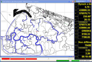
Bathymetry and sonar interpretation chart
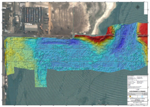
Dredging control bathymetry
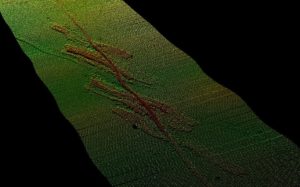
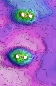
Rig approach debris survey
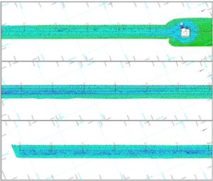
Pipeline survey
Jetty and nearshore survey
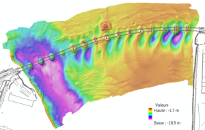
Control bathymetry for bridge structure
Bridge pre-construction bathymétry
Pipeline pre-lay survey
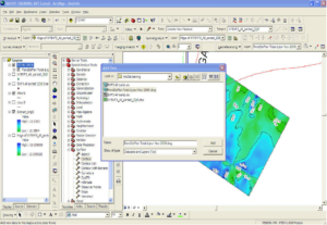
ARCGIS Data Processing And Management Software
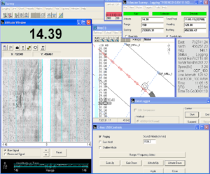
Hypack-Hysweep Acquisition And Processing Package
Hydropro Navigation And Acquisition Software
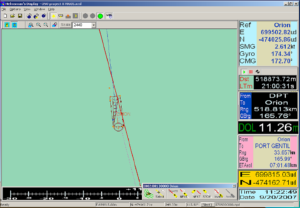
EIVA Navipac Navigation And Acquisition Software
OTHER SERVICES