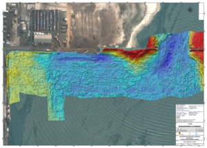
 Jetty survey
Bridge pre-construction bathymetry
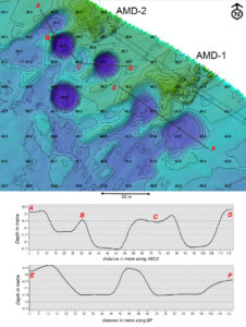
Rig approach debris Survey
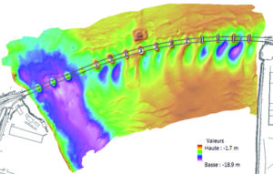
Dredging control bathymetry
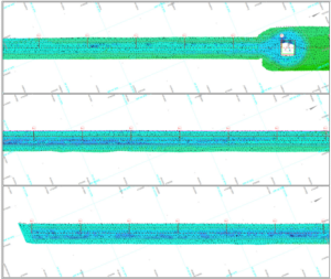
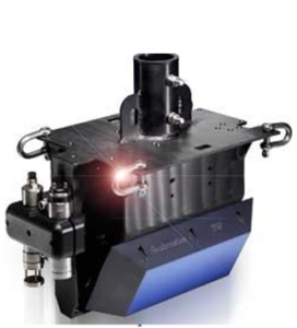
Multibeam
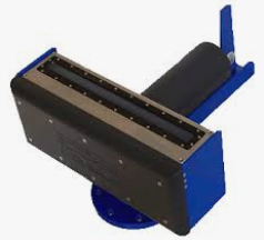
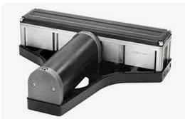
Single Beam
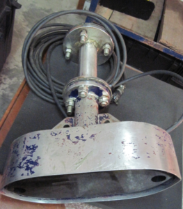
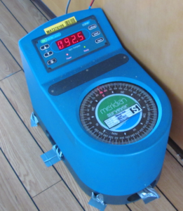
Survey grade gyrocompass


Locatech Services SARL offers bathymetry and seabed surveys for clients in the oil, gas, marine construction, naval and ports authority industries including pre-dredge and post-dredge surveys, buoy mooring and channel surveys.
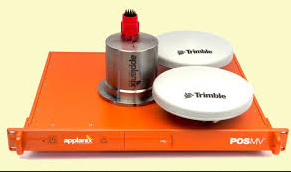
Hydrographic instruments are primarily used to acquire bathymetry data to map and ascertain the depth of the seabed. In addition, our multibeam systems are increasingly being used to provide acoustic backscatter information for characterising seabed classification.
We employ high resolution multibeam and singlebeam bathymetry sensors to produce hydrographic data that can be seamlessly merged with topographic data for 3D model creation. All digital data from the surveys is presented as standard charts or digital drawings. Cut -and -fill volume and cross section representation are readily available. The data may also be input to a GIS database thus allowing for future studies to be conducted with greater efficiency.
Jetty survey
Bridge pre-construction bathymetry
Rig approach debris Survey
Dredging control bathymetry
Multibeam
Single Beam
Survey grade gyrocompass