SMART LONGLASTING SOLUTIONS
Maecenas pulvinar -dapibus leosit amet tincidunt elit habitant morbi tristique senectus et netus.
Lorem ipsum dolor sit amet, consectetur adipiscing elit. Ut elit tellus, luctus nec ullamcorper mattis, pulvinar dapibus leo sit amet.
MAIN SURVEY
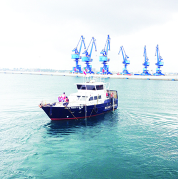
Complete offshore and nearshore survey
- Pre-Dredge Survey – Post Dredge Survey
- Contrai bathymetry
- Offshore Site Survey
- Sand search
Pipe & Cable route surveys
- Pre-lay cartography & identification of the route of least impact
- Post-lay survey and cable
Exhaustive geophysical cartography work
- Digital terain model
- Cross-and along-track profiles
- Charter-carthography.
Marine assessment & monitoring
APPLICATION
- CABLE & TELECOMMUNICATION
- SUPPORT TO UNDERWATER WORK
- MARINE RENEWABLE ENERGY
- CIVIL INDUSTRY
QUIPMENT
- 30m2 workshop for maintenance
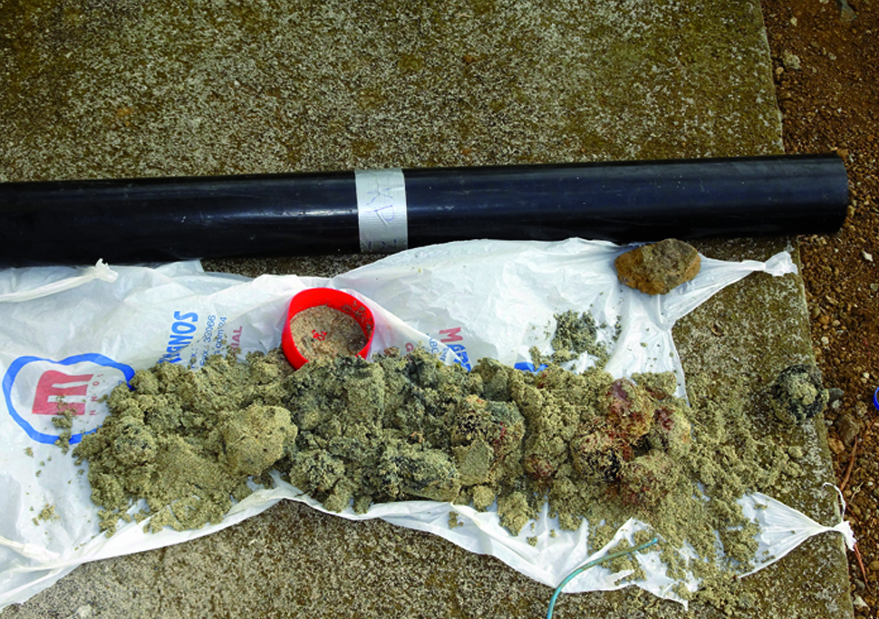
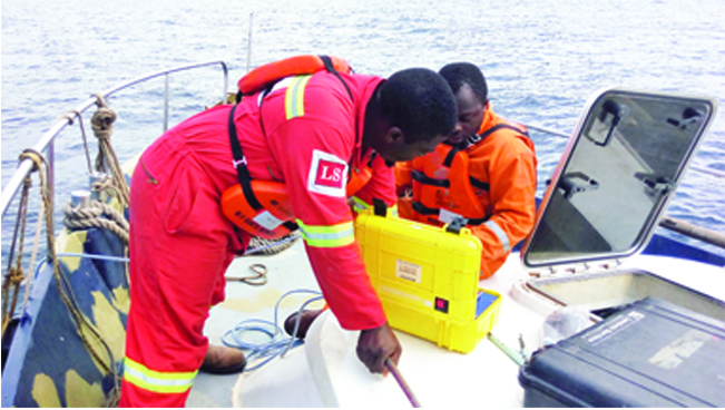
- A pool of geophysical equipment
- MBES -SSS – Mag – SBP – Sparker
- Surface & underwater positioning Pool of oceanographic equipment (ADCP, CTD, etc.)
- Surface & underwater positioning Geotechnical device.
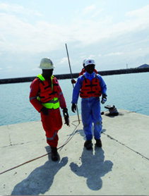
PERSONNEL
- Team of well-trained specialist in Hydrography and oceanography
- PHD & MSc in Geophysics and Topography and Topography Professional seamen
Environmental & Social Impact
Environmental protection is ‘a must to do’ habit.
Locatech helps organizations by providing survey services that identify environmental areas requiring preser vation. Data from surveys help to implement the right method of protecting the environment as required by international and hast government /aws.
Other services